
Trails and Maps for the Region
The coastal Maine and New Brunswick landscape is rich with trails to be discovered. On this page you'll find some of the more popular trail destinations and trail map resources. Maine trails and maps listed at the top followed by New Brunswick trails and maps.
ATV Maine
Links to clubs and trail alerts. Promoting safe and responsible use of ATVs.
Bold Coast Scenic Bikeway
Ride the Bold Coast with RideWithGPS with turn-by-turn cue sheets so you know where you are heading.
Bold Coast Scenic Byway
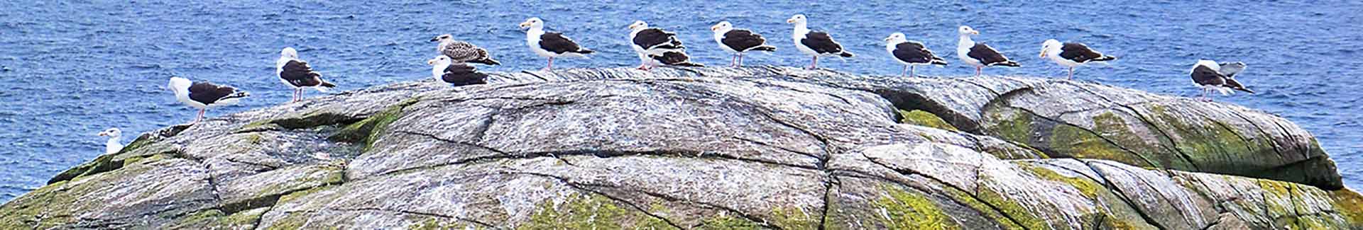
This state byway follows Route 1 for 125 miles between Millbridge and Eastport, with a few swoops down to visit fishing villages and the easternmost point of land in the contiguous U.S.
Cobscook Bay Navigational Chart link
A new inset with hydrographic data detail for the waters west of Cobscook Bay, where fishing vessels encounter some of the earth’s highest tidal ranges, powerful currents, and treacherous conditions.
Cobscook Bay Region Get Active! map
Marks places for cycling, picnicking, hiking, camping, cross-country skiing, snowshoeing, fishing, etc.,
Cobscook Shores
A privately-owned system of eleven waterfront parks that offer public access and recreational use including walking, picnicking, hiking, biking, camping, and paddling in Cobscook Bay.
Cobscook Trails
Cobscook Bay and Bold Coast Maine Hikes - expanding opportunities for nature-based recreation and tourism in eastern Washington County.
Downeast - Lubec Region and Coastal Washington & Charlotte Counties Maps
Maps for navigating the Village of Lubec, Town of Lubec, and the Coastal Region.
Downeast and Acadia Regional Tourism Travel Planner
Guidebook, Lighthouses and Lobsters, and Historic Sites and Museums maps
Downeast and Acadia Maine Birding Trail
Maps, guidebooks, checklists - everything you need to find the birds!
Downeast Coastal Conservancy
Maintaining and protecting properties throughout coastal Washington County, DCC offers a variety of public access properties.
Downeast Fisheries Trail
From Penobscot Bay to Cobscook Bay, this trail connects historic and active fisheries sites that illustrate the region’s maritime heritage.
Downeast Ice Age Trail Map
Order a trail map online from the University of Maine bookstore.
Information, apps and online map at http://iceagetrail.umaine.edu.
Downeast Ice Age Trail and Guide
Videos of Hal Borns, author of the Downeast Ice Age Trail map at a variety of stops on the map.
Down East Sunrise Trail
An 87 mile multi-use trail, open year round, along the rail corridor from High Street Trailhead in Ellsworth to Ayers Junction in Pembroke, for snowmobilers, ATV-ers, pedestrians, bicyclists, cross country skiers, equestrians and other outdoor enthusiasts.
East Coast Greenway in Downeast Maine
This 140-mile part of the East Coast Greenway offers an unforgettable combination of the best of rural Maine and its small towns and villages, blueberry barrens and bald eagles.
Experience Maritime Maine
Explore Maine’s rich maritime heritage.
Explore Downeast Maine by Bike
A wealth of information for planning your next biking trip: tour loops, pre-planning information, road conditions and cautions, maps and photos
Explore Maine Geology - Map of Field Localities
Explanation of geological history and processes for various locations in Maine
Farmers' Markets Midcoast to Downeast
Farmers’ markets are the perfect place to meet locals while picking up fresh and prepared foods and crafts from area farmers and artists.
Lubec Village, Town, and Regional Maps - COMING SOON!
Helpful tourism maps that locate Lubec businesses and other towns in the region.
Maine Beer Trail
The Maine Beer Trail spotlights the high quality and creative diversity of fresh, hand-crafted, Maine-made beer. The Lubec Brewing Company is now open! Come enjoy Maine's easternmost-made beer!
Maine Coast Chocolate Trail
Follow this trail for Chocoholics that brings you to Lubec!
Maine Coast Heritage Trust
To protect ecological diversity, scenic beauty, low impact recreation, and other community benefits, MCHT manages more than 50 preserves along Maine's coast.
Maine Department of Transportation Travel Information
Choice of full-featured or streamlined map display of traffic reports and toll-free phone numbers.
Maine Island Trail Association
America's first water trail, created, protected, and enjoyed by people who love the coast of Maine. Although it officially ends in Machias, it also includes a side trip to Cobscook and Passamaquoddy Bays, including ten remote, wild islands in the Canadian Maritimes. This area is listed as dangerous because navigation is notoriously difficult with huge tides, strong currents, and frequent heavy fog.
Maine Lobster Roll Trail
There's nothing better than Maine's mouthwatering Lobster Roll Trail that goes to Lubec!
Maine Snowmobile Association
Maps of snowmobile trails and links to clubs for trail conditions.
Maine Trail Finder
Search a database of four-season trails in Maine to find the right trail for your next adventure. Browse interactive trail maps, trail descriptions, pictures, and trip reports.
Maine Wine Trail
Includes one winery in our region!
Quoddy Loop Museums and Historic Sites
Historic places from both sides of the border.
Schoodic Symposium Sculpture Tour
Enjoy public art and Maine’s scenic vistas from Little Deer Isle to Eastport while you visit the large-scale sculptures created by world-class artists. Downloadable map on website.
Campobello Tourism Association Map
Accommodations, restaurants, and places of interest on Campobello Island, NB.
New Brunswick Ferries Map
Deer Island, White Head Island, and Grand Manan ferry information - schedules, rates, map and contact information.
New Brunswick Highways Map - Interactive
Interactive Mapquest map for getting directions to your New Brunswick location.
New Brunswick Municipalities Maps
Printable pdf maps of New Brunswick Municipalities.
Parks New Brunswick
Find a provincial park in New Brunswick and reserve lodging.
Roosevelt Campobello International Park walking trails
Walking trails with stupendous views.
Sentiers NB Trails
The New Brunswick Trails Council Inc. is a non-profit, membership/volunteer organization dedicated to the advancement of the trails movement in New Brunswick. Find map of trail locators.
Southwest New Brunswick Snowmobile Clubs and Trails
Information you'll need for snowmobiling New Brunswick - permits, trail status, and maps.
Tourism New Brunswick's Fundy Coast
Printable pdf map of a scenic drive along New Brunswick's Bay of Fundy coastal region.